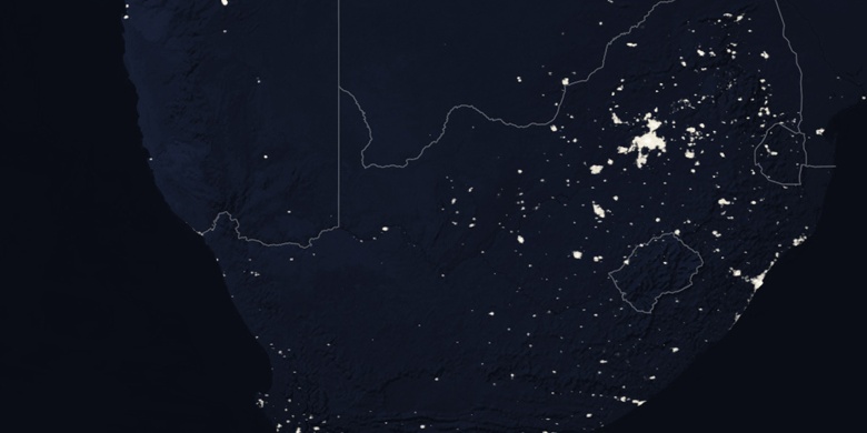
Kroonstad sur la carte
Kroonstad (Orange Free State) , Afrique du Sud sur la carte.
Les coordonnées GPS: 27° 39' 1.3" Sud,
27° 14' 5.6" Est.
» Fuseau horaire, » carte politique, » carte naturel,
» Kroonstad sur la carte Nuit & » carte de Google.
 Temps
TempsKroonstad sur le fuseau horaire carte.:
Fuseau horaire: GMT+02:00 = SAST


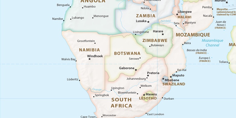
Afrique du Sud, Kroonstad carte politique

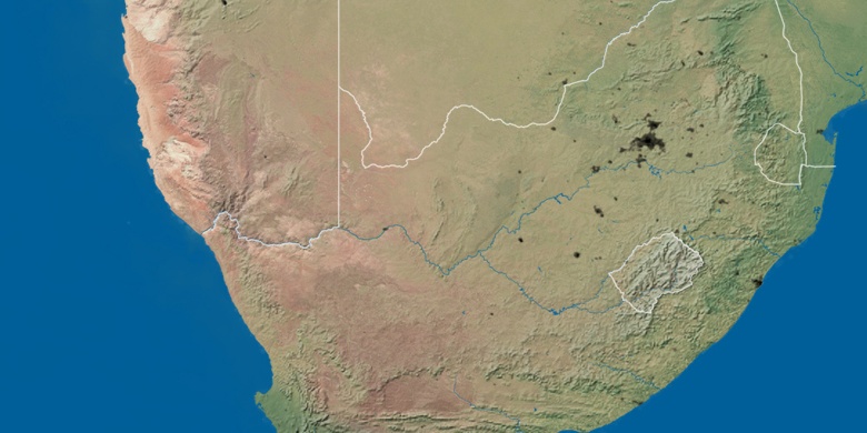
carte naturel
Latitude Longitude: -27.65036, 27.23488

Kroonstad
Kroonstad sur la carte Nuit