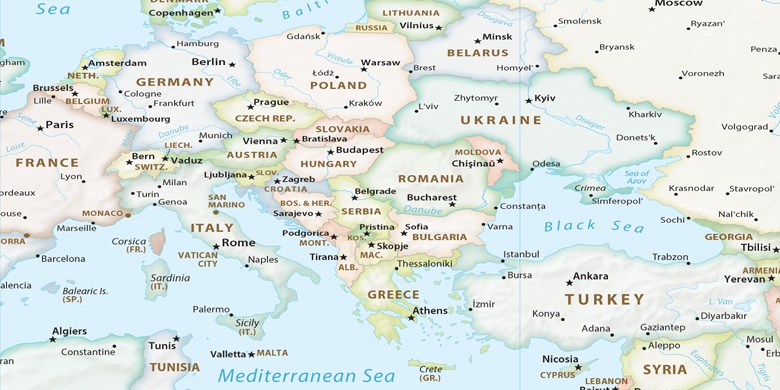
Micheldorf in Oberösterreich sur la carte
Micheldorf in Oberösterreich (Upper Austria) , Autriche sur la carte.
Les coordonnées GPS: 47° 52' 39.5" Nord,
14° 8' 0.9" Est.
» Fuseau horaire, » carte politique, » carte naturel,
» Micheldorf in Oberösterreich sur la carte Nuit & » carte de Google.
 Temps
TempsMicheldorf in Oberösterreich sur le fuseau horaire carte.:
Fuseau horaire: GMT+02:00 = CEST (±1 DST)


Autriche, Micheldorf in Oberösterreich carte politique

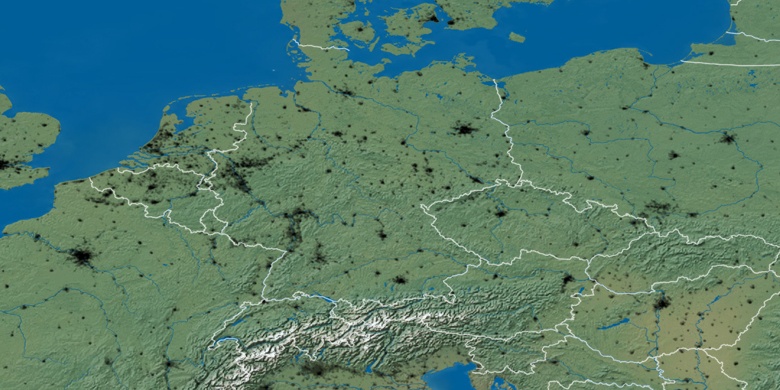
carte naturel
Latitude Longitude: 47.87764, 14.13357

Micheldorf in Oberösterreich
Micheldorf in Oberösterreich sur la carte Nuit