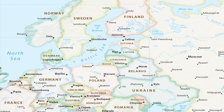
Charlottenlund sur la carte
Charlottenlund (Capital Region) , Danemark sur la carte.
Les coordonnées GPS: 55° 45' 13.2" Nord,
12° 35' 30.5" Est.
» Fuseau horaire, » carte politique, » carte naturel,
» Charlottenlund sur la carte Nuit & » carte de Google.
 Temps
TempsCharlottenlund sur le fuseau horaire carte.:
Fuseau horaire: GMT+02:00 = CEST (±1 DST)


Danemark, Charlottenlund carte politique

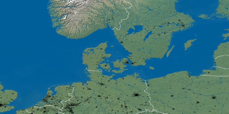
carte naturel
Latitude Longitude: 55.75367, 12.59181

Charlottenlund
Charlottenlund sur la carte Nuit