Cedar Mill sur la carte
Cedar Mill (Oregon) , États-Unis sur la carte.
Les coordonnées GPS: 45° 31' 29.4" Nord,
122° 48' 39.3" Ouest.
» Fuseau horaire, » carte politique, » carte naturel,
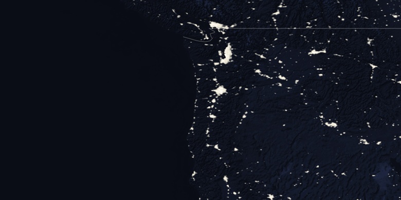
» Cedar Mill sur la carte Nuit & » carte de Google.
 Temps
TempsCedar Mill sur le fuseau horaire carte.:
Fuseau horaire: GMT-07:00 = PDT (±1 DST)


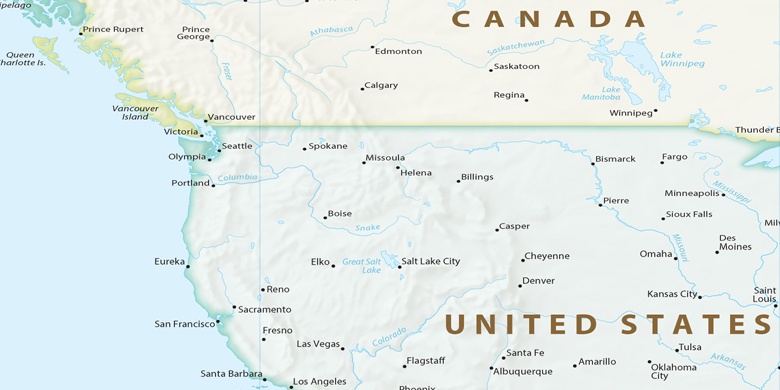
États-Unis, Cedar Mill carte politique

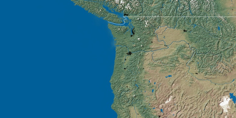
carte naturel
Latitude Longitude: 45.52484, -122.81093

Cedar Mill
Cedar Mill sur la carte Nuit