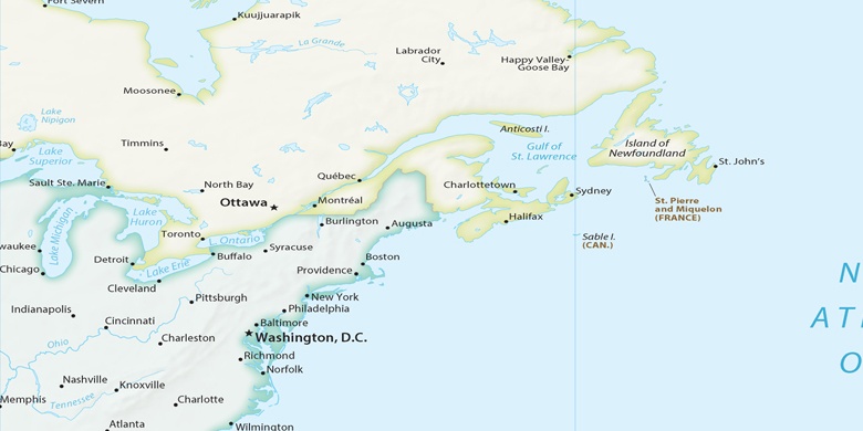
Central Falls sur la carte
Central Falls (Rhode Island) , États-Unis sur la carte.
Les coordonnées GPS: 41° 53' 26.4" Nord,
71° 23' 32.2" Ouest.
» Fuseau horaire, » carte politique, » carte naturel,
» Central Falls sur la carte Nuit & » carte de Google.
 Temps
TempsCentral Falls sur le fuseau horaire carte.:
Fuseau horaire: GMT-04:00 = EDT (±1 DST)


États-Unis, Central Falls carte politique

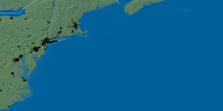
carte naturel
Latitude Longitude: 41.89066, -71.39228

Central Falls
Central Falls sur la carte Nuit