East Grand Rapids sur la carte
East Grand Rapids (Michigan) , États-Unis sur la carte.
Les coordonnées GPS: 42° 56' 28.1" Nord,
85° 36' 36.1" Ouest.
» Fuseau horaire, » carte politique, » carte naturel,
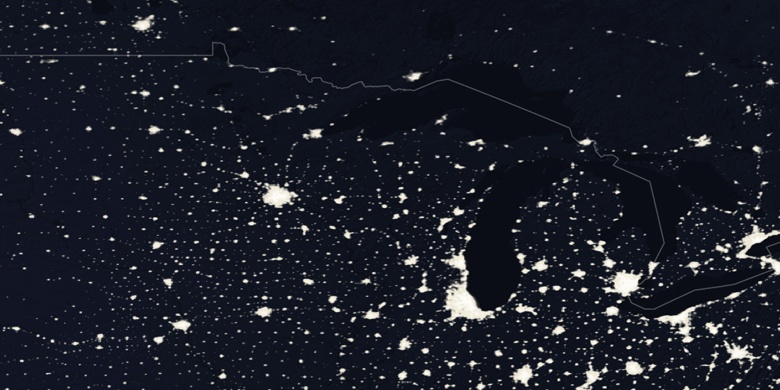
» East Grand Rapids sur la carte Nuit & » carte de Google.
 Temps
TempsEast Grand Rapids sur le fuseau horaire carte.:
Fuseau horaire: GMT-04:00 = EDT (±1 DST)


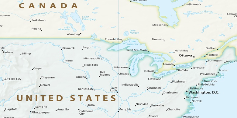
États-Unis, East Grand Rapids carte politique

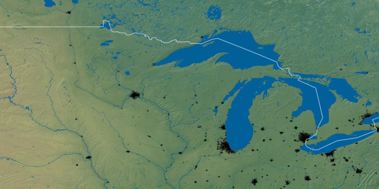
carte naturel
Latitude Longitude: 42.94114, -85.61003

East Grand Rapids
East Grand Rapids sur la carte Nuit