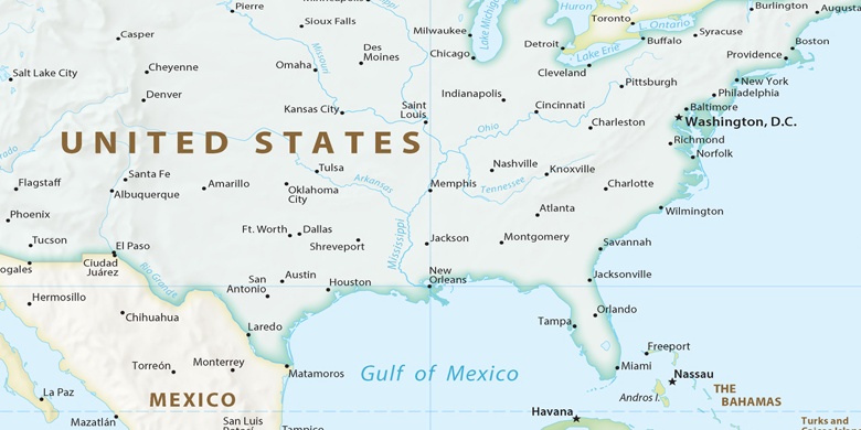
Richmond Heights sur la carte
Richmond Heights (Missouri) , États-Unis sur la carte.
Les coordonnées GPS: 38° 37' 43.2" Nord,
90° 19' 10.4" Ouest.
» Fuseau horaire, » carte politique, » carte naturel,
» Richmond Heights sur la carte Nuit & » carte de Google.
 Temps
TempsRichmond Heights sur le fuseau horaire carte.:
Fuseau horaire: GMT-05:00 = CDT (±1 DST)


États-Unis, Richmond Heights carte politique

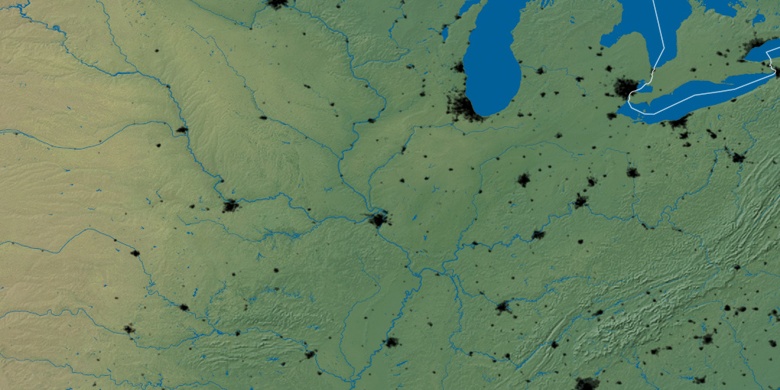
carte naturel
Latitude Longitude: 38.62866, -90.31956

Richmond Heights
Richmond Heights sur la carte Nuit