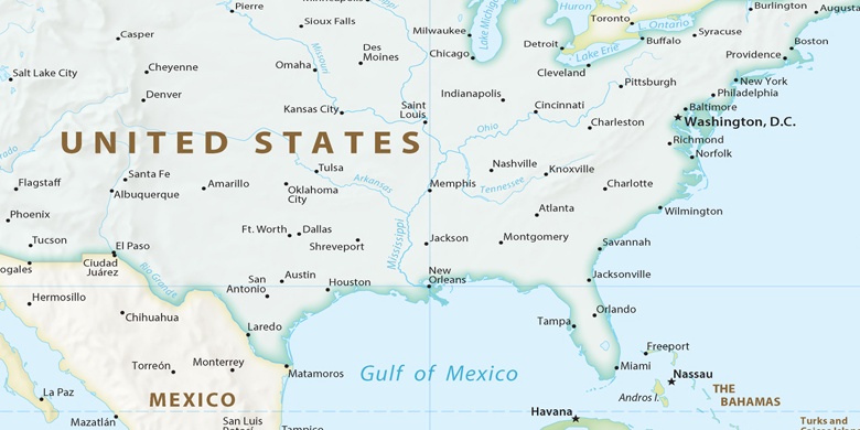
Roeland Park sur la carte
Roeland Park (Kansas) , États-Unis sur la carte.
Les coordonnées GPS: 39° 2' 15" Nord,
94° 37' 55.8" Ouest.
» Fuseau horaire, » carte politique, » carte naturel,
» Roeland Park sur la carte Nuit & » carte de Google.
 Temps
TempsRoeland Park sur le fuseau horaire carte.:
Fuseau horaire: GMT-05:00 = CDT (±1 DST)


États-Unis, Roeland Park carte politique

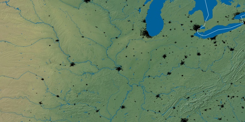
carte naturel
Latitude Longitude: 39.03751, -94.63218

Roeland Park
Roeland Park sur la carte Nuit