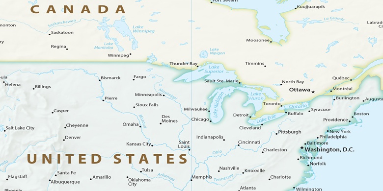
Upper Arlington sur la carte
Upper Arlington (Ohio) , États-Unis sur la carte.
Les coordonnées GPS: 39° 59' 40.2" Nord,
83° 3' 44.7" Ouest.
» Fuseau horaire, » carte politique, » carte naturel,
» Upper Arlington sur la carte Nuit & » carte de Google.
 Temps
TempsUpper Arlington sur le fuseau horaire carte.:
Fuseau horaire: GMT-04:00 = EDT (±1 DST)


États-Unis, Upper Arlington carte politique

carte naturel
Latitude Longitude: 39.99451, -83.06241

Upper Arlington
Upper Arlington sur la carte Nuit