Romorantin sur la carte
Romorantin (Romorantin-Lanthenay, Centre) , France sur la carte.
Les coordonnées GPS: 47° 22' 0" Nord,
1° 45' 0" Est.
» Fuseau horaire, » carte politique, » carte naturel,
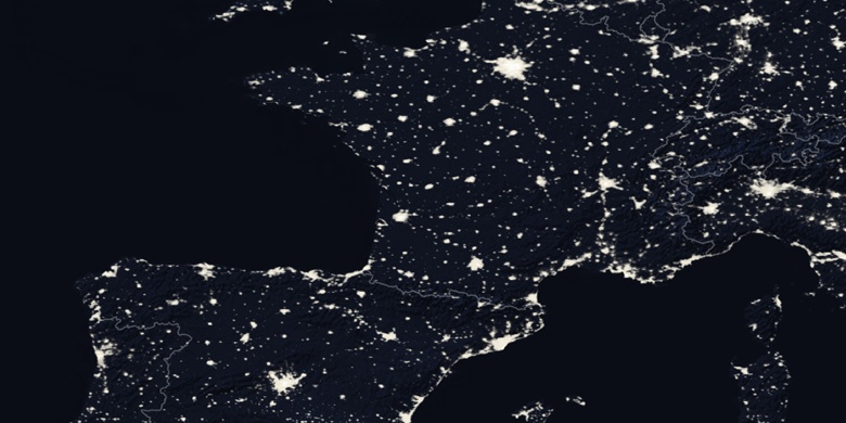
» Romorantin sur la carte Nuit & » carte de Google.
 Temps
TempsRomorantin sur le fuseau horaire carte.:
Fuseau horaire: GMT+02:00 = CEST (±1 DST)


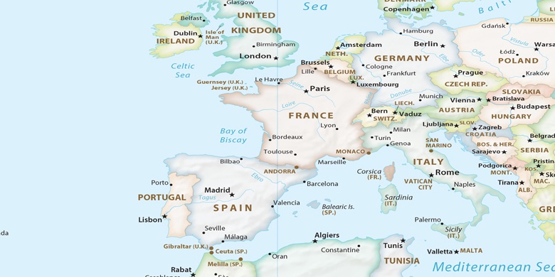
France, Romorantin carte politique

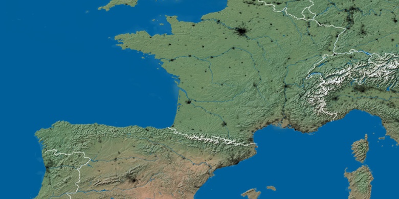
carte naturel
Latitude Longitude: 47.36667, 1.75

Romorantin
Romorantin sur la carte Nuit