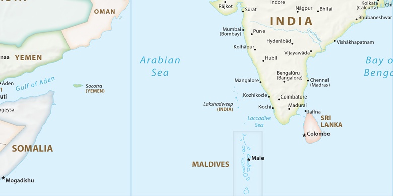
Hungund sur la carte
Hungund (Karnataka) , Inde sur la carte.
Les coordonnées GPS: 16° 3' 44.1" Nord,
76° 3' 30.2" Est.
» Fuseau horaire, » carte politique, » carte naturel,
» Hungund sur la carte Nuit & » carte de Google.
 Temps
TempsHungund sur le fuseau horaire carte.:
Fuseau horaire: GMT+05:30 = IST


Inde, Hungund carte politique

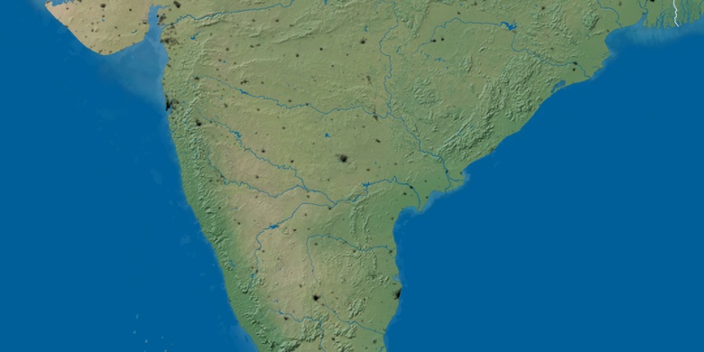
carte naturel
Latitude Longitude: 16.06226, 76.05839

Hungund
Hungund sur la carte Nuit