Jānsath sur la carte
Jānsath (Uttar Pradesh) , Inde sur la carte.
Les coordonnées GPS: 29° 19' 30.3" Nord,
77° 50' 58" Est.
» Fuseau horaire, » carte politique, » carte naturel,
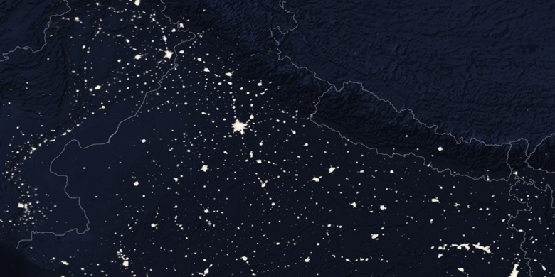
» Jānsath sur la carte Nuit & » carte de Google.
 Temps
TempsJānsath sur le fuseau horaire carte.:
Fuseau horaire: GMT+05:30 = IST


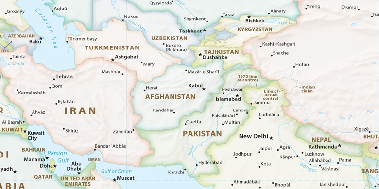
Inde, Jānsath carte politique

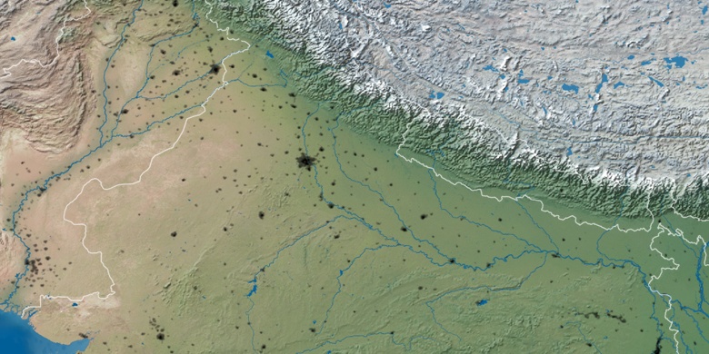
carte naturel
Latitude Longitude: 29.32508, 77.84945

Jānsath
Jānsath sur la carte Nuit