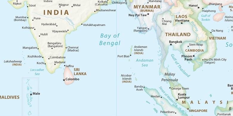
 Port Blair sur la carte
Port Blair (Andaman and Nicobar Islands) , Inde sur la carte.
Les coordonnées GPS: 11° 40' 0" Nord,
92° 45' 0" Est.
» Fuseau horaire, » carte politique, » carte naturel,
» Port Blair sur la carte Nuit & » carte de Google.
 Temps
TempsPort Blair sur le fuseau horaire carte.:
Fuseau horaire: GMT+05:30 = IST


Inde, Port Blair carte politique

carte naturel
Latitude Longitude: 11.66667, 92.75


Port Blair
Port Blair sur la carte Nuit

