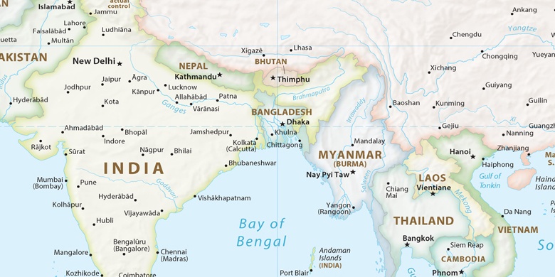
Rājahmundry sur la carte
Rājahmundry (Andhra Pradesh) , Inde sur la carte.
Les coordonnées GPS: 17° 0' 18.6" Nord,
81° 46' 40.2" Est.
» Fuseau horaire, » carte politique, » carte naturel,
» Rājahmundry sur la carte Nuit & » carte de Google.
 Temps
TempsRājahmundry sur le fuseau horaire carte.:
Fuseau horaire: GMT+05:30 = IST


Inde, Rājahmundry carte politique

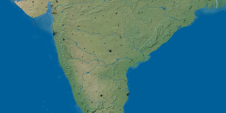
carte naturel
Latitude Longitude: 17.00517, 81.77784

Rājahmundry
Rājahmundry sur la carte Nuit