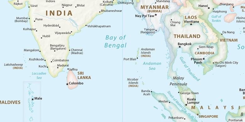
Rāmachandrapuram sur la carte
Rāmachandrapuram (Andhra Pradesh) , Inde sur la carte.
Les coordonnées GPS: 16° 50' 10.9" Nord,
82° 1' 43.4" Est.
» Fuseau horaire, » carte politique, » carte naturel,
» Rāmachandrapuram sur la carte Nuit & » carte de Google.
 Temps
TempsRāmachandrapuram sur le fuseau horaire carte.:
Fuseau horaire: GMT+05:30 = IST


Inde, Rāmachandrapuram carte politique

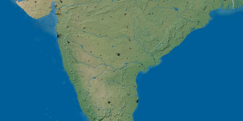
carte naturel
Latitude Longitude: 16.83636, 82.02871

Rāmachandrapuram
Rāmachandrapuram sur la carte Nuit