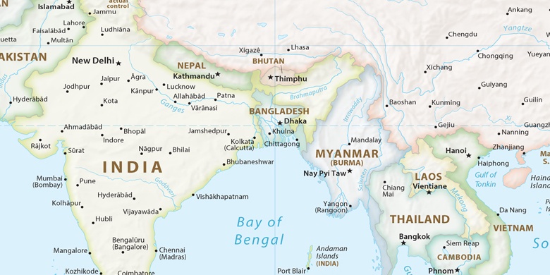
Rāmchandrapur sur la carte
Rāmchandrapur (West Bengal) , Inde sur la carte.
Les coordonnées GPS: 22° 53' 47" Nord,
88° 28' 31" Est.
» Fuseau horaire, » carte politique, » carte naturel,
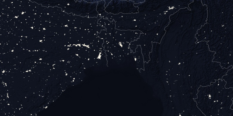
» Rāmchandrapur sur la carte Nuit & » carte de Google.
 Temps
TempsRāmchandrapur sur le fuseau horaire carte.:
Fuseau horaire: GMT+05:30 = IST


Inde, Rāmchandrapur carte politique

carte naturel
Latitude Longitude: 22.89639, 88.47528


Rāmchandrapur
Rāmchandrapur sur la carte Nuit