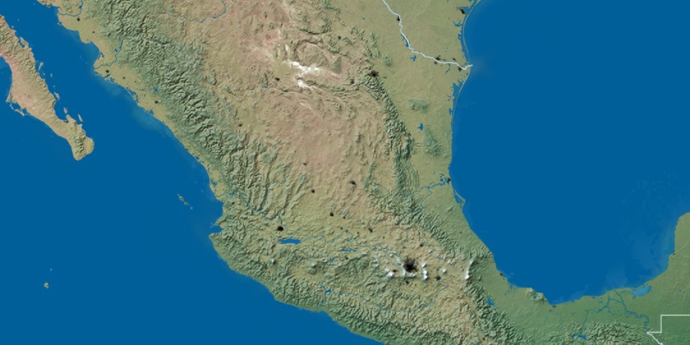
San Vicente Tancuayalab sur la carte
San Vicente Tancuayalab (San Luis Potosí) , Mexique sur la carte.
Les coordonnées GPS: 21° 43' 6" Nord,
98° 35' 16" Ouest.
» Fuseau horaire, » carte politique, » carte naturel,
» San Vicente Tancuayalab sur la carte Nuit & » carte de Google.
 Temps
TempsSan Vicente Tancuayalab sur le fuseau horaire carte.:
Fuseau horaire: GMT-06:00 = CST


Mexique, San Vicente Tancuayalab carte politique


carte naturel
Latitude Longitude: 21.71833, -98.58778

San Vicente Tancuayalab
San Vicente Tancuayalab sur la carte Nuit