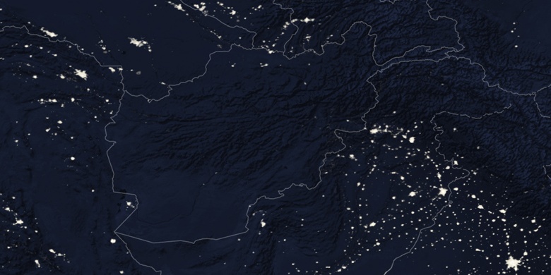
Chaman sur la carte
Chaman (Balochistān
) , Pakistan sur la carte.
Les coordonnées GPS: 30° 55' 25" Nord,
66° 27' 4.2" Est.
» Fuseau horaire, » carte politique, » carte naturel,
» Chaman sur la carte Nuit & » carte de Google.
 Temps
TempsChaman sur le fuseau horaire carte.:
Fuseau horaire: GMT+05:00 = PKT


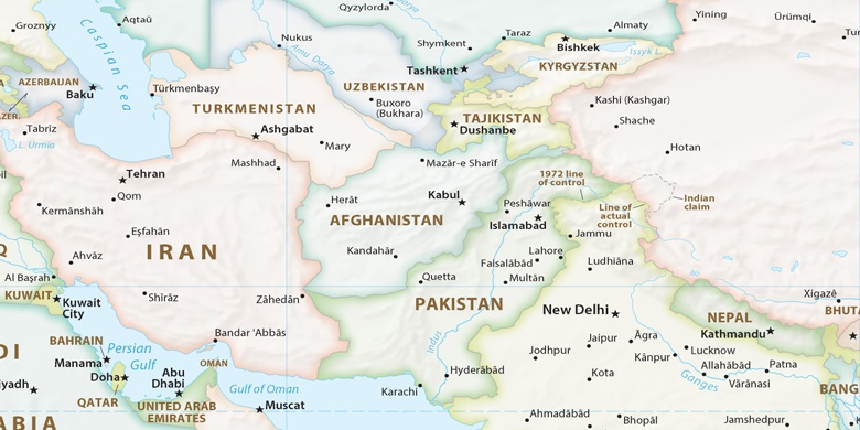
Pakistan, Chaman carte politique

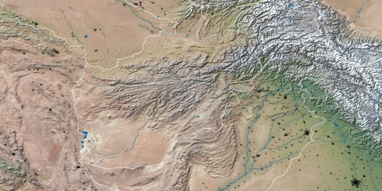
carte naturel
Latitude Longitude: 30.9236, 66.45116

Chaman
Chaman sur la carte Nuit