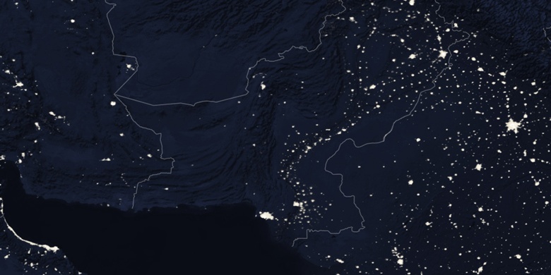
Tando Allāhyār sur la carte
Tando Allāhyār (Sindh) , Pakistan sur la carte.
Les coordonnées GPS: 25° 27' 45.5" Nord,
68° 43' 9.2" Est.
» Fuseau horaire, » carte politique, » carte naturel,
» Tando Allāhyār sur la carte Nuit & » carte de Google.
 Temps
TempsTando Allāhyār sur le fuseau horaire carte.:
Fuseau horaire: GMT+05:00 = PKT


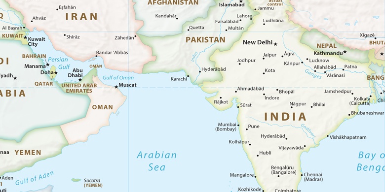
Pakistan, Tando Allāhyār carte politique

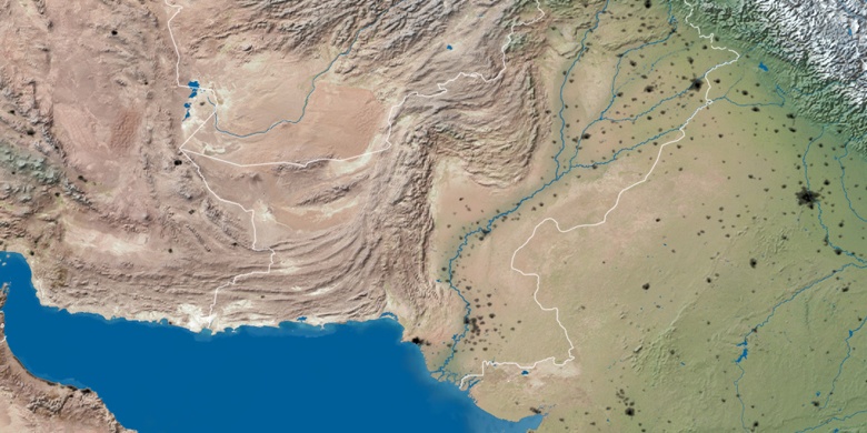
carte naturel
Latitude Longitude: 25.46263, 68.71923

Tando Allāhyār
Tando Allāhyār sur la carte Nuit