Tagbilaran City sur la carte
Tagbilaran City (Central Visayas) , Philippines sur la carte.
Les coordonnées GPS: 9° 39' 20" Nord,
123° 51' 7.9" Est.
» Fuseau horaire, » carte politique, » carte naturel,
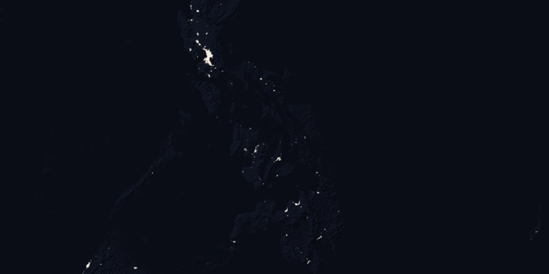
» Tagbilaran City sur la carte Nuit & » carte de Google.
 Temps
TempsTagbilaran City sur le fuseau horaire carte.:
Fuseau horaire: GMT+08:00 = PST


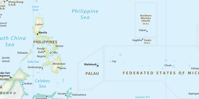
Philippines, Tagbilaran City carte politique

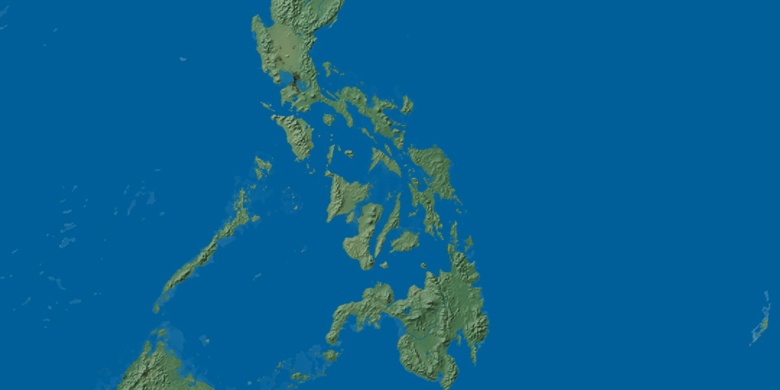
carte naturel
Latitude Longitude: 9.65556, 123.85219

Tagbilaran City
Tagbilaran City sur la carte Nuit