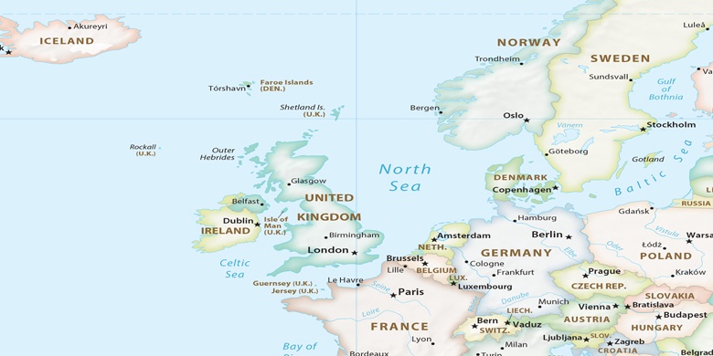
Randalstown sur la carte
Randalstown (Northern Ireland) , Royaume-Uni sur la carte.
Les coordonnées GPS: 54° 45' 0" Nord,
6° 17' 60" Ouest.
» Fuseau horaire, » carte politique, » carte naturel,
» Randalstown sur la carte Nuit & » carte de Google.
 Temps
TempsRandalstown sur le fuseau horaire carte.:
Fuseau horaire: GMT+01:00 = BST (±1 DST)


Royaume-Uni, Randalstown carte politique

carte naturel
Latitude Longitude: 54.75, -6.3


Randalstown
Randalstown sur la carte Nuit